
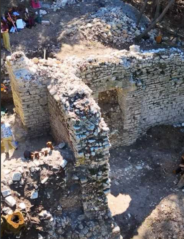
Butrint National Park reported that the initiative will uncover stratigraphic data to date the wall and clarify the city’s fortification schemes. Ultimately, this research will reveal how Butrint’s urban landscape evolved during its final millennium of active life, between the 5th and 15th centuries AD.
Dr. Nevila Molla, the project’s lead architect, stated that the excavation aims to map Butrint’s macro-topography, connecting the upper and lower city areas.
Current fieldwork focuses on a fortification tower within the Acropolis. Here, excavations have uncovered archaeological layers spanning from Late Antiquity to the Late Middle Ages.
“These new excavations provide our first stratigraphic data on the construction and use of these walls,” Molla explained. “They offer a clearer picture of the city’s development across multiple historical eras.”


