
Muddy Volcanoes, scanned with drones to uncover hidden terrain structure and monitor gas emissions
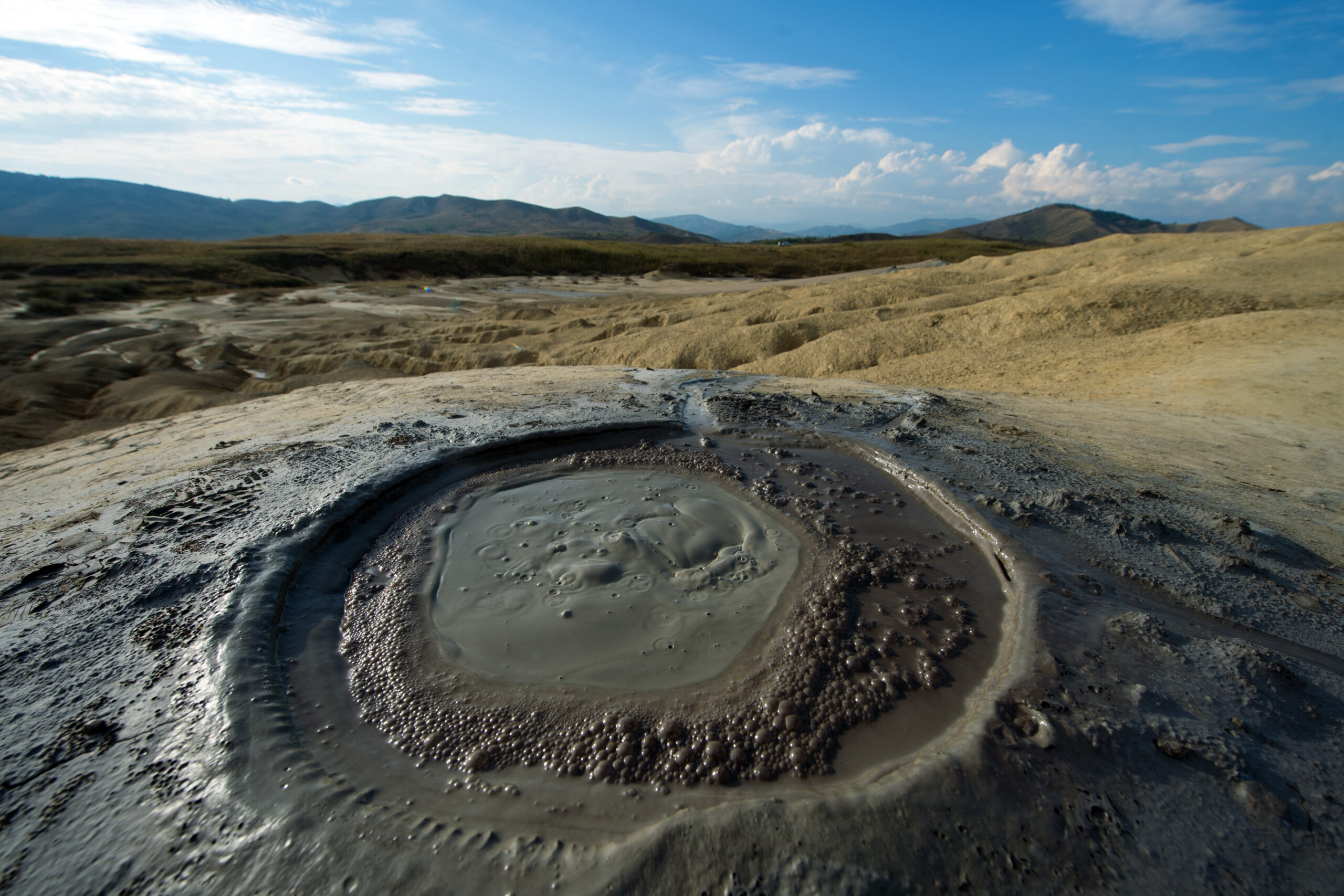
A team from the National Institute for Research and Development in Earth Physics (INCDFP) has conducted tests using drones equipped with state-of-the-art sensors, LiDAR-type, ground-penetrating radar, magnetometers, thermal cameras, and gas sensors, in the Mud Volcanoes area, in order to uncover the hidden structure of the terrain.
The activities were carried out by researchers from the Applied Geophysics, Prevention and Education Laboratory (GeoEduLab) of the National Institute for Earth Physics, in partnership with Skyline Drones and SPH Engineering.
‘The goal? To decipher the hidden structure of this unstable terrain, to monitor gas emissions, and to identify areas vulnerable to landslides. At the same time, researchers are becoming familiar with new aerial survey methods, which can later be applied in other regions with geological risks. The research team is part of GeoEduLab, the laboratory through which the Institute combines research, education and risk prevention. During this campaign, the team is being trained in the use of drones and geophysical equipment, and the collected data will serve as a resource for understanding the area and the risks associated with such zones. Although well known as a tourist destination, the area is surprisingly underdocumented scientifically. These measurements not only expand knowledge about the Mud Volcanoes, but can also be replicated in other regions with seismic or geological risk,’ GeoEduLab reported.
Last year, a team of researchers conducted Romania’s first-ever 3D mapping of the subsurface of a mud volcano, using FullWaver equipment, a cutting-edge geoelectric technology.


